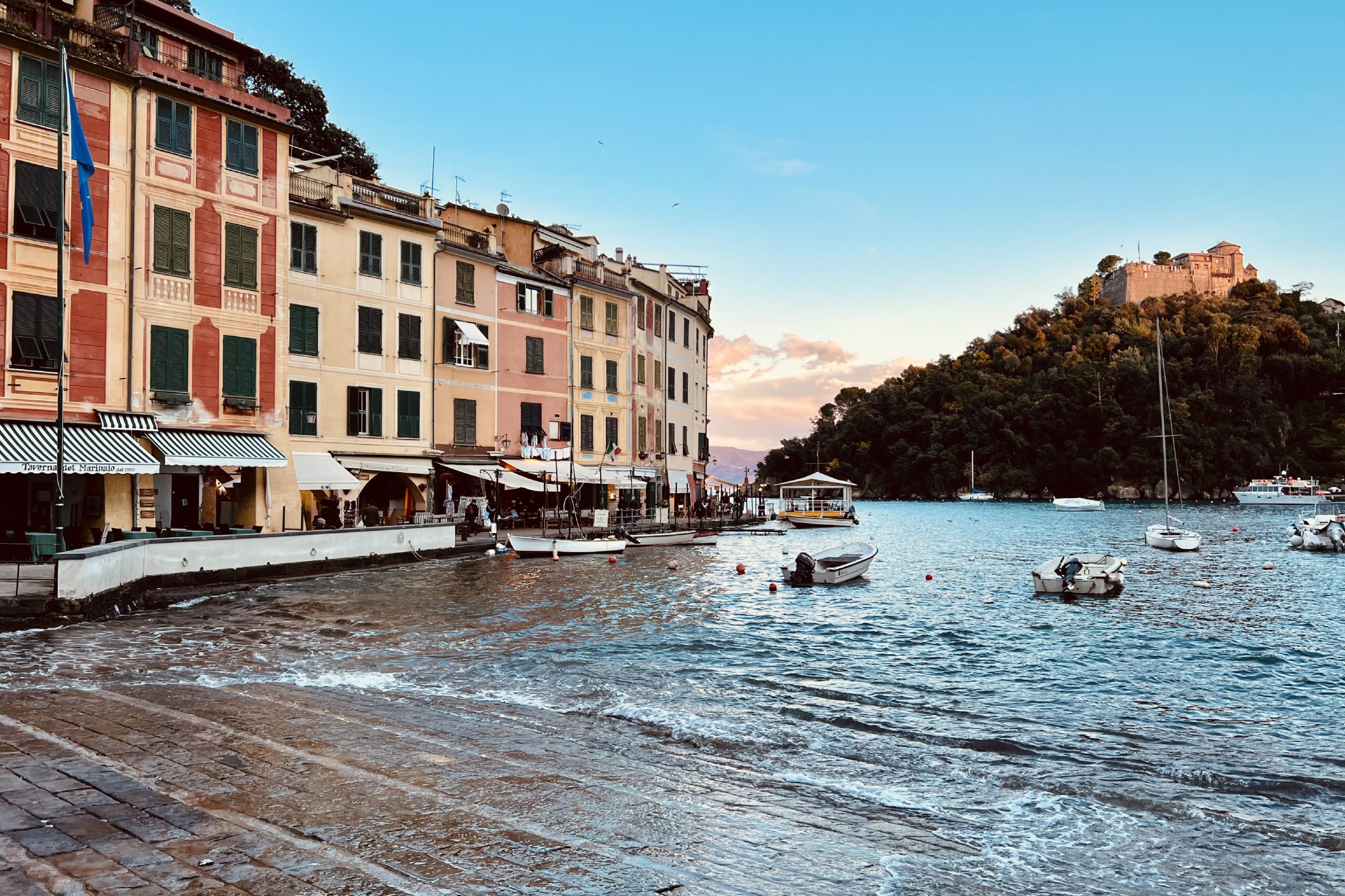
The territory of Liguria
 Liguria, almost 270 kilometers long and a maximum of 35 kilometers wide, has one of the most beautiful landscapes in Italy with the contrast between the sea and the mountains and hills that seem to throw themselves into it. This territory forced man to build cities and roads along the coast and along the valleys, but also on the sides of the mountains (the Alps to the west and the Apennines to the east), mainly for defense purposes.
Originally, the Ligurians lived on the heights while the sea belonged to the Greeks and the Etruscans : the distinction between coast and hinterland, less inhabited but also important for history and culture, began to fade only after the Second World War due to the construction of roads communication.
From prehistoric times, up to the 13th century, the Ligurian road network consisted in the passage from the sea to the mountains on the salt roads, narrow and steep mule tracks to be covered on foot or on the back of a mule or in an east-west direction sailing at sea. Later, Napoleon first and the Savoy later, built the modern roads and railways dug into the valleys overlooking the sea, an evocative passage that still underlines the substantial difference between the coast and the hinterland.
